
Looking Up Your Murray Neighbors
A block lookup starts with a known parcel, not a guessed people list. The Assessor ties an address to a parcel and owner. The GIS Viewer shows adjacent polygons. The recorder connects each parcel to recorded parties. Official district maps show civic geography. Cemetery, museum, and newspaper sources can explain older neighborhood names. Each source answers a different question.
| Source | What it shows about a block | Access |
|---|---|---|
| Assessor parcel search | Owner, situs, mailing, value, exemption | Free web search |
| Assessor Parcel Viewer | Adjacent polygons, parcel IDs, map layers | Free interactive viewer |
| Recorder | Deed parties, dates, legal descriptions | Summary free, images paid |
| Election maps | Five Murray council districts and voting geography | County map page |
| Community sources | Historic groups, rosters, cemetery and museum clues | Custodian or onsite |
This block coverage is more useful than a broad claim about all Murray neighbors. Write down the source date and the exact parcel. Then decide whether you need ownership, geography, a historic household, or a civic connection.
Click Outward Around a Murray Block
Use the Salt Lake County Assessor Parcel Viewer to select a known parcel and inspect nearby polygons. County GIS materials identify parcels, addresses, cities, ZIP Codes and Addressing, aerial imagery, and related layers. A seven-digit parcel prefix can return parcels on a block, with the first four digits representing area or section and the next three block. Use the full ID for each neighbor card.
- Confirm the starting address and city field.
- Open the parcel map and note adjacent parcel shapes.
- Copy each parcel ID and exact situs address.
- Run each address through the Assessor search.
- Use the recorder or a city map to test ownership and boundaries.
The map shows geography, not a complete household count. A parcel can contain more than one structure, and a visible polygon does not reveal every occupant. If the task expands to the whole named street, use the Murray by-street guide.
The image below shows the county’s district-map route, which is a useful second layer after parcel geometry.
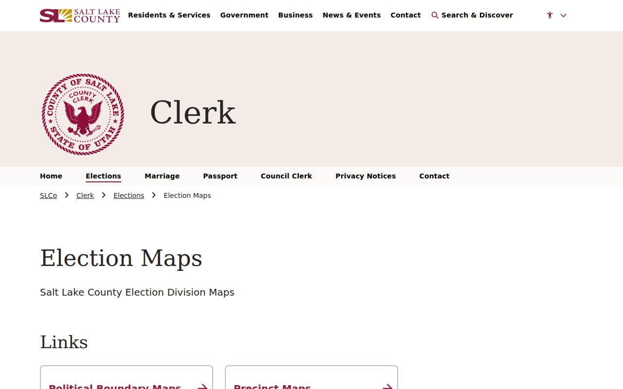
Compare district lines with parcels because neither one is a ZIP boundary.
What a Murray Neighbor Card Reveals
An assessor card may show owner of record, situs address, mailing address, parcel number, legal description, land and structure values, value history, exemption, property type, and map links. A residential or homestead exemption can be a clue consistent with owner use, but it is not conclusive proof that the owner lives there. A trust, LLC, or estate can be the named owner.
Keep owner and neighbor as separate terms. A parcel owner may receive mail at another location. A person listed in a public voter record may not own the parcel. The recorder’s deed summary can identify grantors and grantees, but a transaction party is not automatically an occupant. These limits are why a block lookup needs several labeled sources.
Murray Neighbor Blocks Have Legal Outlines
Plats and legal descriptions give a block its recorded outline. The recorder and county Archives hold deeds, plat maps, tax rolls, land-title certificates, and related property records. A legal description may use lot and block, section-township-range, or another land description. Keep it beside the parcel ID when a street address looks different in an old source.
Salt Lake County’s tax-roll order changed in 1893 from ward and surname toward legal description by plat and block. That history helps with an older Murray block. A 1942 Sanborn map can show buildings, alleys, and street form. A directory or newspaper is needed for names. Do not infer a household from a map alone.
Murray Voter Visibility at Block Scale
Utah voter records can add public registration and district clues through the official status tool or a formal file request. Full DOB, Social Security number, driver or state ID, phone, email, and signature are not public. At-risk voters can have personal information withheld. A polling district line is a civic geography, not a list of everyone who lives on a block.
Use the Utah voter status search for a lawful person-centered check. For a larger file, follow the Lieutenant Governor or Salt Lake County Elections request path. Do not copy a block roster or treat a missing name as proof of absence. The purpose and the access channel both matter.
Safe at Home explains why a qualifying neighbor may not appear at an ordinary address.
Five Murray Council Districts
Salt Lake County’s election map page links to an all-district Murray map and District 1, District 2, District 3, District 4, and District 5 maps. These lines can tell you which civic district covers a parcel. County maps also include precincts, polling places, schools, ZIPs, community councils, and city limits. Those layers should not be called one neighborhood list.
Save the map title and date with your parcel notes. Annexation, zoning, or area-plan activity can change the proper city or county custodian for a record. A December 2024 notice near Van Winkle Expressway, 900 East, and 4800 South illustrates why the date of a boundary record matters.
Murray HOA Registry and Member Lists
Utah Commerce maintains a community-association registry search. The research source establishes a registry route, but it does not establish that a private member directory is public or that every Murray block belongs to a listed association. Use the registry to identify a formal association name or filing clue, then contact the association through its lawful public channel if appropriate.
| Community source | What it may add | Limit |
|---|---|---|
| HOA registry | Association registration clue | Not a member directory |
| City council maps | District and civic boundary | Not a household list |
| Murray Museum | Historic families, groups, homes | Onsite and inquiry-based |
| Cemetery database | Burial, family, place clues | Past interments, not current neighbors |
The right comparison is official record scope versus community context. Neither source should be stretched into a private profile.
Murray Cemetery History for a Block
Utah’s Cemetery and Burials database allows searches by name, death year, cemetery, county, and city. Results can include a deceased name, birth and death dates, burial date, grave location, and relatives. The Utah SHPO cemetery database adds cemetery contact information. Murray Museum files add more than 300 family biographies, yearbooks, scrapbooks, newspaper material, historic-home records, and more than 56 oral histories.
These are useful when the block question is historical. Murray’s smelter era drew Greek, Armenian, Yugoslavian, Italian, and Japanese workers, and churches formed around several communities. Cemetery, church, newspaper, and museum clues can explain a family network. They do not establish that a living person remains at a house.
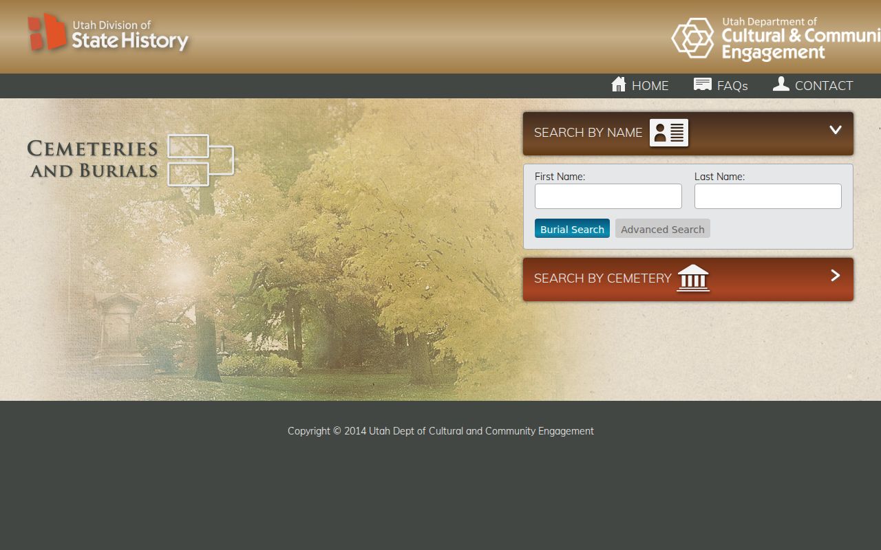
Use cemetery results as a past-person clue and confirm the place with a separate record.
Murray Rolls Versus Other Tools
Official rolls have a named custodian, a defined search field, and an access rule. The Assessor exposes parcel keys. The Recorder exposes document summaries. Voter access is controlled. The court portal defines case fields and a 500-result cap. A commercial people-finder category may combine many data feeds, but its listings can be stale, mismatched, or hard to correct. It does not replace the source office.
For a Murray block, use the official parcel map first. Check a public deed summary next. Use a civic map or historical source for context. If you need a record that is not online, request the existing record from Murray or Salt Lake County under GRAMA. A short official chain is easier to verify than an unlabeled list.
Privacy Limits on Murray Neighbors
Owner records do not automatically reveal occupants, household members, or utility customers. DMV address information is protected by the Driver’s Privacy Protection Act. Court, vital, juvenile, sealed, expunged, voter, and Safe at Home records may be closed or limited. A protected person can be absent from an ordinary address search by design.
Lawful personal use. Use a neighbor lookup for parcel curiosity, family history, civic work, estate matters, or a record that affects you. Never use a block search to stalk, harass, intimidate, or harm another person. Ask the custodian about corrections and protective categories.
- Adjacent parcel
- A mapped parcel sharing a boundary or near the target parcel.
- Owner of record
- The person or entity named in a property record.
- District map
- A civic service boundary, not a list of residents.
- Safe at Home
- Utah’s substitute-address and mail-forwarding program for qualifying survivors.
When a Murray Block Search Becomes Historical
Use County Archives for tax cards, permits, deeds, land titles, plats, maps, and case files. Its house-history cards require an address and can show building changes. Use the 1910 Polk item, the Murray Museum, newspapers, cemetery entries, and a 1942 Sanborn map for earlier layers. A current parcel can then be compared with a past building and household.
Keep the question narrow. “Who owns the adjacent parcel now?” belongs with the Assessor and Recorder. “Who lived around this block in 1910?” belongs with directories, census, newspapers, and historical collections. A different source set makes the answer clearer and protects against overclaiming.